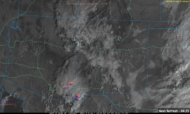
October 24th: Autumn Thunderstorm Action Today

Synopsis Synoptic scale ascent combined with remnant moisture from former tropical cyclone Norma will generate numerous showers and thunderstorms across Southeastern Arizona today. The most intense and widespread activity will remain in Cochise County and into New Mexico, but a chance of showers and storms is possible in the Tucson Metro this afternoon and evening. Storms will be able to produce locally heavy rain, gusty winds, and small hail. Current Conditions At 8:00AM MST, visible imagery and lightning detection displayed a cluster of showers and thunderstorms moving briskly northward across far southeastern Arizona into New Mexico. Visible imagery combined with GOES GLM flashes courtesy of College of Dupage. This activity is associated with a region of upper level divergence indicated by this morning's SPC 300mb analysis. SPC 300mb analysis as of 16:00z this morning. The 12z TUS sounding measured marginal moisture and instability with only 0.82 in of pwat and just ...