Posts

Showing posts from July, 2023

Join us tomorrow at 11 AM for our live Monsoon forecast discussion

Hi everyone, join us at 11 AM on Tuesday August 1st to discuss whether we can expect an at least temporary shutdown of the monsoon.... https://arizona.zoom.us/j/5237305771

July 31st - July looks to end with a bang; will August begin with a whimper?

Image
Overview: Things look to be setting up for active day. A combination of clear skies this morning, precipitable water values of approximately 1.5 inches, and some dynamic lift from the disturbance that enhanced activity over the weekend all portend widespread thunderstorms across Tucson today and hopefully into the Phoenix metro later this evening and tonight. CAPE values of 1500 J/kg in combination with an unusual veering wind profile could facilitate severe storms developing as well. A question for today is will we break our streak of 100+ F days, which will depend on the timing of convection this afternoon. Things should quiet down after today although how quiet exactly is still up in the air. Flow will become southwesterly after the system lifts north of Arizona tonight, which should allow for some gradual drying to occur. However, there should still be close to climatological values of moisture tomorrow. The more significant issue for tomorrow will be the potential for an inversion

July 30: Numerous storms between Phoenix and Yuma by this Evening, More Active in Tucson Tomorrow

Image
  Synopsis Widespread showers and thunderstorms are expected to impact the lower deserts of mainly central and southwestern Arizona this afternoon and evening with a few isolated severe storms possible. Activity will mainly remain west of Tucson today due to drier air advecting from the east throughout the day. Tomorrow looks to be our most active day of the monsoon season with widespread, strong thunderstorms expected across the region (including Tucson and Phoenix).    Current Conditions Radar and satellite this morning showed scattered showers and thunderstorms across the lower deserts of western Arizona.  Infrared Satellite Imagery this morning courtesy of College of Dupage. SPC mesoanalysis has the 500mb high centered just east of the Four Corners, and an inverted trough axis centered over southern New Mexico and northwestern Chihuahua (Mexico). The weak gradient in heights between the center of the ridge and mid level low over Mexico has generated 25 to 40 knot easterly winds in

July 29th - Unexpectedly intense storm kicks off active weekend

Image
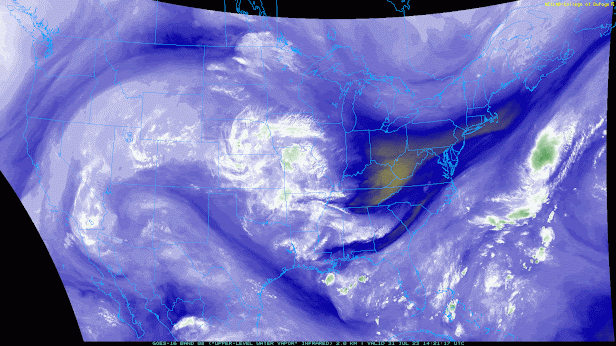
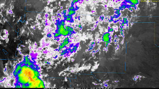
  Overview: I have to admit that I was surprised by the intensity of the storm that moved through the heart of midtown yesterday. As a forecaster, it is always disturbing when people are impacted by an event that you consider to be low probability. I will discuss last evenings storm below. As for the forecast for the next few days, I still think that the scenario highlighted yesterday stands. Today's discussion will be brief as I need to head to my cat's vet this morning (nothing serious). The inverted trough should move westward to the south of Tucson over the next 48 h. On Monday, this system should move northward through western Arizona, keeping activity going throughout the area. Heavy precipitation and wind threats will be focused from Pima county westward, including parts of southcentral California. By Tuesday, the threat should move north of the area as the system lifts northward through Nevada and Utah.  Yesterday: The evening sounding from Tucson did show more instabil