Posts

Showing posts from September, 2023

September 15th: Tranquil Conditions this Weekend; Most likely Dry and Cooler the Rest of September

Image
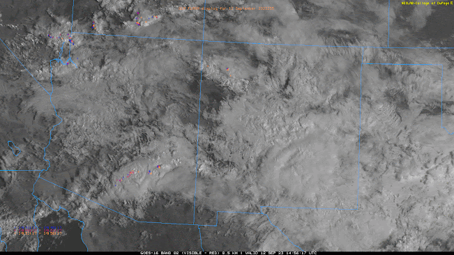
  Synopsis Very, dry and stable atmosphere indicated by the 12z sounding this morning due to westerly flow aloft. Expect dry and warm weather across the lower deserts today through Sunday. There is a chance of showers and storms near the AZ/NM Border on Sunday, but activity is expected to remain well east of Tucson and Phoenix. This will likely be the last discussion of the 2023 Monsoon Season as medium and long-range deterministic and ensemble guidance suggests mostly dry conditions through the rest of September. Current Conditions Current SPC 500mb analysis displays a shortwave trough over the Central Rockies, a high amplitude ridge over the West Coast, and zonal flow over Arizona. SPC 500mb analysis as of 18:00Z this morning. The 12z TUS sounding is really the only analysis tool needed for forecasting today with 0.66 in of pwat, a surface dew point of 46 degF, no CAPE, and a strong subsidence inversion at around 600mb.  12z TUS Sounding courtesy of the SPC . Today Through Sunday The

September 14th: Isolated Showers and Storms Possible in Southeastern AZ Today

Image
  Synopsis Active day yesterday afternoon with numerous showers and strong thunderstorms across Southeastern AZ. Precipitable water has plummeted overnight as westerly flow aloft today will continue to rapidly dry out our atmosphere. Still, should be just enough remnant low level moisture and some weak instability for a few isolated showers and low-topped thunderstorms mainly over the high terrain south and east of Tucson.  Current Conditions  Hope everyone enjoyed the storms the last few days as that was likely the 2023 Monsoon Season Farewell Event. Widespread showers and thunderstorms yesterday across Southeastern Arizona, mainly from Tucson eastward with some storms producing wind gusts of 40 to 50 mph and penny to nickel sized hail. Not a ton of accumulated rainfall yesterday with most locations in the Tucson metro receiving around 0.10 in or less, but Tucson International Airport received the strongest thunderstorm with 0.33 in measured.  SPC 500mb and 300mb analysis this morning

September 13th: Monsoon Farewell Event Day 3

Image
  Synopsis Very active night/early morning in Central Arizona with rounds of numerous showers and strong thunderstorms from Phoenix eastward and this activity is still ongoing this morning. Another round of showers and strong thunderstorms is expected this afternoon and evening across Southeastern Arizona (including Tucson). SPC has southeastern AZ in a marginal risk for severe storms once again with the primary threat being strong wind gusts and up to one inch hail.  Current Conditions   Visible imagery overlaid with GLM flashes this morning displays a cluster of showers and strong thunderstorms in Central Arizona just east of the Phoenix metro. Visible imagery this morning courtesy of the College of Dupage as of 8:20 AM MST. Very active evening/night/early morning in the Phoenix vicinity with a few severe thunderstorms producing damaging winds. The strongest storms were in the southeastern Phoenix area with a couple severe storms producing wind gusts that knocked down power lines and

September 12th: 2023 Monsoon Farewell Event Day 2

Image
  Synopsis Numerous showers with embedded thunderstorms this morning impacted Southeastern Arizona (including Tucson) with plenty of lightning and heavy rain.  Busy day in store for today due to synoptic scale ascent combined with sufficient moisture and instability. The SPC has Central and Southeastern AZ in a marginal risk for severe thunderstorms today with the primary impacts being severe grade wind gusts and 1 inch hail in the strongest storms.  Current Conditions Quite an active morning with a few rounds of showers and embedded thunderstorms in Pima and Pinal counties associated with a shortwave trough moving through the region overnight into this morning. Current radar and satellite imagery displays a weakening cluster of showers and embedded thunderstorms just northeast of Tucson and this activity will continue to weaken throughout the morning hours.    Visible imagery overlaid with GLM flashes this morning courtesy of College of Dupage. Conditions have rapidly changed over the