May 16th, 2024: Chances for Elevated Convection Today
Synopsis
A closed low over New Mexico will promote a chance for elevated showers and thunderstorms across the eastern half of AZ through this evening. A dry sub cloud layer will prevent any significant rainfall accumulations, and the primary impacts will be occasional lightning strikes, gusty winds, and blowing dust.
Current Conditions
At 9:45AM MST, visible satellite imagery displayed a weak, small cluster of elevated showers and isolated thunderstorms in the Phoenix vicinity moving rapidly southeastward.

Visible satellite imagery loop overlaid with GLM flashes this morning courtesy of College of Dupage.
SPC 500mb analysis this morning showed a weak closed low over Central New Mexico, and a subtle shortwave on the backside of the low over AZ.

SPC 500mb analysis as of 17z this morning.
The region of convection near Phoenix this morning is associated with PVA ahead of the subtle shortwave.
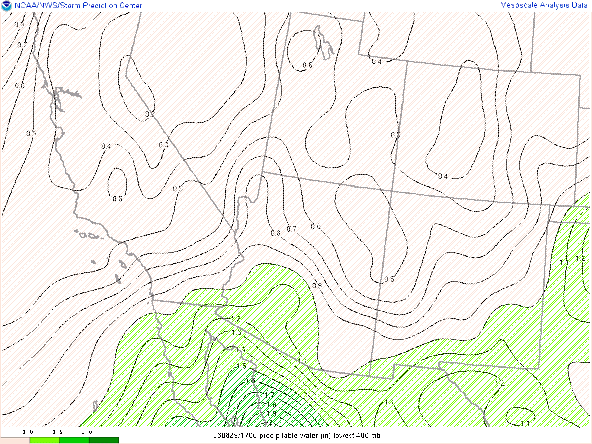
This mornings 12z TUS sounding measured a relatively dry and stable environment with 0.60 inches of pwat and no CAPE.

12z TUS sounding courtesy of the SPC.
Today's Forecast
The aforementioned shortwave and associated convection will move rapidly southward throughout the day and into Sonora by this evening. Brisk 15 to 25 knot steering flow will allow a chance for convection over the higher terrain to move into the lower elevations later today as well.
Visible satellite imagery this morning showing rapidly growing cumulus over the Mogollon Rim and White Mountains due to differential heating of the terrain. Sufficient heating of the surface across the lower deserts will steepen low and mid level lapse rates throughout the day and combined with marginal moisture will allow some CAPE to develop. In fact, 15z KPHX and KTUS WRF-HRRR model soundings forecasting between 50 and 200 J/kg of CAPE to develop by the middle of this afternoon.

15z KPHX WRF-HRRR sounding for this afternoon at 3:00PM MST.

15z KTUS WRF-HRRR sounding for this afternoon at 3:00PM MST.
Instability is marginal at best, but DCAPE near 1000 J/kg promotes a chances for strong outflow boundaries to act as a lifting mechanism this afternoon and evening.
Overall, this is not expected to be a significant rainfall event due to an extremely dry sub cloud layer. However, gusty winds, blowing dust, and lightning strikes are possible across the eastern half of the state today. The majority of the activity will likely remain confined to the higher terrain, but there is a chance for some storms to impact the Phoenix and Tucson metros this afternoon and evening.


Comments
Post a Comment