July 29th - Unexpectedly intense storm kicks off active weekend
Overview:
I have to admit that I was surprised by the intensity of the storm that moved through the heart of midtown yesterday. As a forecaster, it is always disturbing when people are impacted by an event that you consider to be low probability. I will discuss last evenings storm below. As for the forecast for the next few days, I still think that the scenario highlighted yesterday stands. Today's discussion will be brief as I need to head to my cat's vet this morning (nothing serious). The inverted trough should move westward to the south of Tucson over the next 48 h. On Monday, this system should move northward through western Arizona, keeping activity going throughout the area. Heavy precipitation and wind threats will be focused from Pima county westward, including parts of southcentral California. By Tuesday, the threat should move north of the area as the system lifts northward through Nevada and Utah.
Yesterday:
The evening sounding from Tucson did show more instability and precipitable water than forecast with values of 1500 J/kg and 1.4" respectively. One key may have been that the downdraft CAPE Not sure that that alone can complete account for the intensity of the updraft core and the widespread large hail.
00Z/29th TUS sounding
My suspicion is that storm modified flow from earlier convection locally enhanced shear profiles to allow for dynamically enhanced updrafts. You can see a northward propagating outflow boundary from storms just south of the Rincons interacting with the storm coming off the Catalinas corresponding to the time of intensification.
Radar Loop from 23/Z on the 28th until 07Z on the 29th
While reports of severe conditions were highly localized,
they did occur over some of the most densely populated portions of the Tucson metro area, meaning that many people were impacted, with significant power disruptions.
Today:
17Z Water Vapor Imagery (weather.cod.edu)
The inverted trough is situated just south of the Big Bend area of Texas. A region of higher wind speeds is highlighted in green. This region of stronger upper-level winds is forecast to move into southern Arizona by early evening, increasing the threat for enhanced propagation and organization along outflow boundaries.17Z Vis Sat and PWTR (weather.cod.edu)
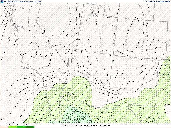
Precipitable water values range from 1-1.5" from west to east across southern Arizona which is roughly in line with climatological values. There is little in the way of debris clouds allowing for strong surface heating this morning. Consequently, any convective inhibition should be overcome by early afternoon. The thermodynamic situation is illustrated in this morning's sounding,
12Z/29th TUS sounding
15Z UA_WRFHRRR sounding valid at 00Z/30th
2000 J/kg by 5 PM MST before convection initiation starts in the vicinity of Tucson, although I anticipate initiation could start as early as 3 PM MST over the higher terrain to the east of Tucson. As the evening progresses, CAPE values reduce somewhat, although flow profiles suggest the continuation/re-firing of convection into late evening.


Comments
Post a Comment