July 12th Discussion
Overview:
Thunderstorm chances will continue in the 30-40% range for the next couple of days. As we head into the weekend, storm chances will start to diminish as the upper-level high-pressure system moves to California. This will bring a drier flow of air from the north into the state. However, as we head into next week, the high-pressure system is expected to move north and east into the 4-Corners region, hopefully setting up a more typical Monsoon flow pattern by early next week. Temperatures will continue to be above normal in association with the proximity of the high-pressure system.
Current Conditions
Debris clouds from the convection activity last night are limiting instability on the southwest portion of the greater Tucson area. Consequently, convection is more likely to initiate on the northeast side of the region.There's approximately 1,000 J/kg of CAPE near the Tucson area, and to the east of Tucson, this increases to 3,000 J/kg. As of 1:30 PM, convection is starting to initiate in parts of north central Cochise County.
Numerical guidance predicts that most of the precipitation will occur to the south and east of the general Tucson area; however, the possibility of storms forming closer to Tucson isn't out of the question. Clear skies over Tucson indicate that instability should build up over the course of the day, which may be sufficient for storms to form, in particular over portions of the Rincon or Catalina mountains.
This sounding indicates that there is 1.72 inches of precipitable water. Light winds throughout the column indicate that the storms will remain largely stationary, and that they will be short-lived. While heavy rain is possible with any given storm, severe weather is unlikely. The inverted "V" sounding suggests that gusty winds of up to 40 mph are possible given the spread in temperatures and dewpoints.
Outlook heading into the weekend:
Precipitation chances should slowly diminish heading into the weekend as the upper-level high shifts towards California.
This will place Arizona in an area of large-scale anticyclonic vorticity advection, which should suppress potential updrafts, while the northerly winds will result in lower precipitable water values pushing into the region.
Potential onset of a typical Monsoon pattern next week:
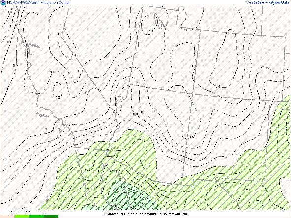
By early to the middle part of next week the high-pressure system should move into Northern Arizona and eventually North Central New Mexico, resulting in a more typical monsoon flow pattern over southern Arizona. While easterly upper-level flow should be in place as soon as Monday, precipitable water may lag behind a day or two, although we'll have to watch for any potential Gulf Surges.
Precipitable water anomaly on Wednesday next week


.png)


Comments
Post a Comment