July 14th - Relatively quiet weekend before a more favorable Monsoon pattern next week.
Overview:
The high-pressure system that had been situated near the New Mexico/Arizona border will shift westward this weekend to California. This will lead to decreasing amounts of activity for the next 48 h as moisture decreases and synoptic-scale conditions become a little more hostile. Early next week, the high is expected to shift the east and amplify, eventually setting up near the Four Corners area. This will allow more typical easterly flow aloft to become more firmly established. As this happens, we will have to watch for occasional inverted troughs or easterly waves propagating through the region that can serve as a mechanism for increased convection, although it is too early to try and identify these features at the moment.
Conditions Today:
Hot and relatively humid conditions continue today, although the proximity of the upper-level high is still serving to minimize convective coverage,
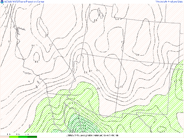
This morning soundings continued to show relatively high values of precipitable water, although they had decreased slightly since yesterday. This trend of drying should continue over the next 48 h. Similar to the last couple of days, convection near the international border as well as convection propagating southwestward over Cochise County should result in some significant cloud cover over night.
This shows the radar as of 5 PM. The activity moving into Cochise County is unlikely to have significant impact other than keeping overnight temperatures unreasonably warm.
The simulated radar from the 18Z UA_WRF shows the activity decaying as it heads towards the international border this evening.
Conditions over the weekend-
Over the next 48 h, the high-pressure system moves westward towards California.
500 hPa heights and Anomalies 18Z Saturday
This should place Arizona in a somewhat more hostile environment for convective initiation while keeping temperatures well above normal for any location west of the Rocky Mountains.
2 m temperature anomalies 00Z Monday
At the same time, precipitable water values will be fall back towards more climatologically normal values to slightly below normal values.
Precipitable Water Anomaly 00Z Monday
This should but daytime dewpoint temperatures back into the low to mid 50's.


Comments
Post a Comment