July 26: Potential for Strong Valley Thunderstorms this Evening
Synopsis
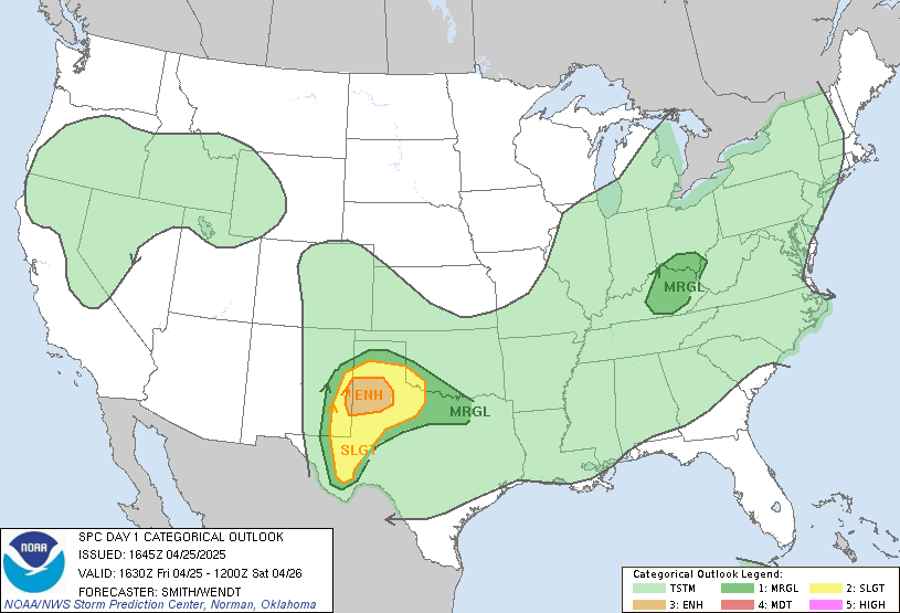
The 500 mb ridge will be centered over east central New Mexico today putting southeast Arizona under southeast flow aloft leading to scattered afternoon and evening thunderstorms across our region. Excessive heat conditions are also likely to persist today with models forecasting temperatures around 110 degF or more in the lower deserts with the greatest threat between Phoenix and Yuma. Convection is forecast to initiate over the Mogollon Rim, White Mountains, and near the International Border this afternoon with strong outflow boundaries anticipated to move through the Tucson area by this evening. The SPC has issued a marginal risk for severe wind gusts in far southeastern Arizona for this evening prompting a threat of isolated severe thunderstorms in the Tucson region.
Current Conditions
The 12z TUS sounding this morning measured a surface dew point of 60 degF, 1.21 inches of precipitable water, 706 J/kg of MUCAPE, and southeasterly mid level flow.
 |
| 12Z TUS sounding courtesy of the Storm Prediction Center. |
As of 9:30 AM MST, surface observations measured dew points in the mid to upper 50s in the Tucson vicinity, and dew points in the upper 40s and low 50s in Cochise County. SPC upper air analysis has the 500mb ridge centered over east-central New Mexico which is a bit farther east than models were forecasting yesterday.
 |
| SPC 500mb analysis at 9:00 AM MST. |
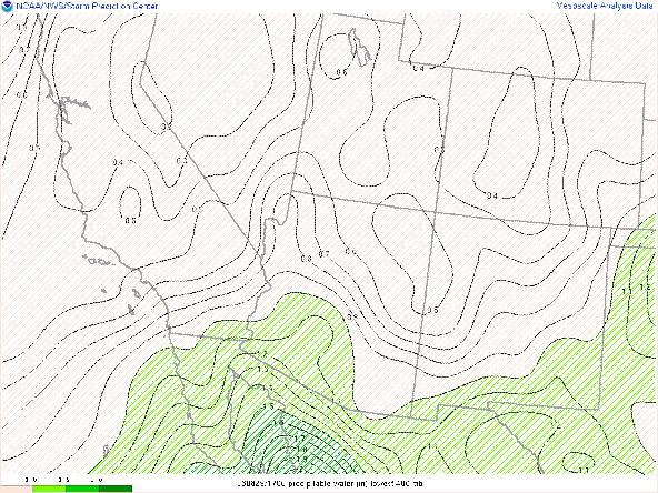
Visible imagery overlaid with GOES derived precipitable water displayed just north of an inch of pwat over Tucson with pwat values decreasing to the east and increasing to the west of Tucson. Skies were mostly clear this morning with only a few clouds over the high terrain in northern Arizona.
 |
| Visible Imagery overlaid with GOES derived precipitable water courtesy of College of Dupage. |
Plenty of sunshine today will aid in thunderstorm development over the high terrain by early this afternoon and hot temperatures across the lower deserts.
Today (Temperature Forecast)
Even with the ridge centered farther east than previously anticipated, maximum temperatures will still reach excessive heat criteria across the lower deserts this afternoon. Am expecting temps to reach near 110 degF in the Tucson area, and near 115 degF between Phoenix and Yuma. The 12z WRF-HRRR forecasts high temps to be below 110 degF in Tucson today, but considering WRF-HRRR under forecast high temps yesterday would anticipate temps to be a couple degrees warmer than the WRF's forecast.

WRF-HRRR 2-meter temperature forecast for 4:00 PM MST.
Today (Convective Forecast)
Yesterday, was anticipating very minimal activity for today due to models forecasting the ridge to be centered near west central New Mexico. Today, the ridge is forecast to remain centered over east central New Mexico. This ridge placement definitely sets up a better environment for storm development and coverage this afternoon and evening. The 12z TUS sounding had decent thermodynamics with over an inch of pwat and forecast CAPE over 1000 J/kg by this afternoon as well as sufficient southeasterly steering flow. Another interesting feature from today's sounding is the dry sub cloud layer below 600mb which explains the 1705 J/kg of DCAPE. Throughout the day today, am expecting the atmosphere below 600mb to become well mixed which would exacerbate the dry sub cloud layer and increase DCAPE. The 12Z HRRR model sounding forecast DCAPE around 2300 J/kg by this evening which would explain why the SPC has now issued a marginal risk of severe storms in far southern Arizona today.
 |
| 12z HRRR Model Sounding at 4:00 PM MST courtesy of Tropical Tidbits. |
 |
| Storm Prediction Center Day 1 Outlook. |
Our 12z WRF-HRRR has convection initiating over the White Mountains, Mogollon Rim, and in Santa Cruz county by the middle of the afternoon.
| 12Z WRF-HRRR simulated maximum reflectivity and station plots today for the Tucson area at 7:00 PM MST. |
| 12Z WRF-HRRR simulated maximum reflectivity and station plots today for the Tucson area at 8:00 PM MST. |
| 12Z WRF-HRRR simulated maximum reflectivity and station plots late tonight for the Phoenix area at 2:00 AM MST. |
Due to fast moving storms, high LCL height, and a significant dry sub cloud layer the major impacts from storms today will be strong, damaging winds and blowing dust. Am not really anticipating any critical flash flood threat. The WPC does have a marginal risk for excessive rainfall in our region today, so isolated flash flooding cannot be discounted.
 |
| Weather Prediction Center Day 1 Outlook for Excessive Rainfall. |
Tomorrow through this weekend
Please refer to yesterday's discussion regarding forecast details for tomorrow through the weekend.


Comments
Post a Comment