July 5th Discussion
Recap of Live Discussion
Hi everyone, I would like to thank everyone for coming virtually to the discussion today.
If you missed it, here's a link...
https://arizona.zoom.us/rec/share/lGmk7c68EJaNSc8JRiF2WtRLTiQmc_T7JuCpzKFOcaCR0894R98YO3TjAhRzYvnE.WN6eaz8H0xG2ThFs
Also here are the slides from today's presentation.
Main points are the increases upwelling/cooling along the coast in association with El Nino and temperatures in the Gulf of California are still lagging behind climatology.
Hopes for significant activity early next week revolve around cyclone activity in the Eastern Pacific aiding a moisture surge into Arizona.
Anticyclonic Situated to our west, subsidence, and an abundence of dry air inhibiting any activity
Surface winds are forecast to remain light in Pima county but will approach 20+ knots from the Rim Northward which really defines the region of critical fire danger.The Next 48 HoursUpper-Level Flow will slowly evolve to start bring some of the moisture in the Tropical Eastern Pacific Northward
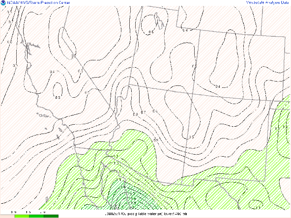
By Friday morning, values of 1" of precipitable water should make it into the Sonoran Desert, but an overall hostile synoptic environment should preclude any activity.
The image below is the 48-240h forecast loop of the 500 hPa anomalies in the westerlies. Warm colors represent stronger than climo westerlies and cool colors represent weak westerlies/easterlies. This loop does a good job of 1) showing the tracks of the tropical systems (strong easterlies) and 2) indicates that we will continue to be plagued by a flow regime with abnormally strong and equatorward westerlies. Only at the end of the 10 day period do we really see easterlies pushing poleward towards the international border.
The image below in the Precipitable water forecast from the GFS showing that while moisture is becoming better established, values greater than one inch will generally stay confined pretty close to the border. However, strong moisture surges into Northern Mexico associated with a pair of forecast tropical cyclones means that deep moisture is not far and small errors in the forecast can have a significant impact on the final.
Zooming into Arizona, we can see that the GFS is forecasting SOME precipitation in the area, but both the GFS and ECMWF have reduced expected accumulations over the next 10 days significantly from forecasts from Monday.
Finally, an issue that we will likely have even if convection does develop is that the upper-level winds will be very weak as we will be near the center of the upper-level high pressure. This will prevent and sort of convective organization and convection that fires up over the higher terrain will likely gust out before working its way into the valley,


Comments
Post a Comment