August 17th: Slight Uptick in Coverage of Storms Today
Synopsis
A similar setup to yesterday is in store this afternoon and evening with scattered showers and thunderstorms expected across southern Arizona with the greatest coverage over the higher terrain and west of Tucson. The 500mb anticyclone has strengthened slightly which will lead to temperatures a couple degrees warmer compared to yesterday.
Current Conditions
The 12z GFS 500mb analysis this morning displayed a 592 dm anticyclone centered over New Mexico, a closed low several hundred kilometers off the coast of California, and weak southerly flow over Arizona.
 |
| 12z GFS 500mb analysis at 12z this morning. |
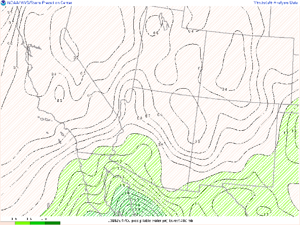
Visible imagery overlaid with GOES derived precipitable water at 18:00z had pwats around an 1.25 inches in Tucson, pwats around 1.50 inches in south-central and southwestern AZ, and cumulus developing over the sky islands in southeastern AZ.
 |
| Visible imagery overlaid with GOES derived total precipitable water at 18:00Z courtesy of College of Dupage. |
 |
| 12z PHX sounding courtesy of the SPC. |
Today's Forecast
Synoptics
The mid level anticyclone will strengthen to 594 dm by this afternoon with southerly to south-southeasterly mid level flow expected for today. Slightly higher 500mb heights this afternoon will lead to temps a couple degrees warmer compared to yesterday. From the 12z PHX sounding, the mid level flow is much more ideal as the last few days winds between 700 and 400mb have been a bit confused. In general, the synoptics are marginally more favorable for storm development due to better, uniform steering flow as well as slightly warmer surface temperatures which will aid in destabilization of the atmosphere by this afternoon.

12z GFS 500mb absolute vorticity at 18z today.
As of 11:00AM MST, towering cumulus are developing over the sky islands in southeastern Arizona which is a pretty good indicator of decent instability. The 12z KTUS WRF-HRRR sounding forecasts CAPE to reach around 600 J/kg by this afternoon, pwat at 1.32 in, and DCAPE around 1500 J/kg.
| 12z KTUS WRF-HRRR sounding at 2:00 PM MST. |
Currently, according to surface observations at 18:30Z, dew points are between 58 degF and 61 degF across the Tucson metro. The 12z WRF-HRRR forecast the surface dew point at KTUS to be 54 degF at 18z. So, considering that the WRF-HRRR is under-forecasting the surface dew points, am thinking CAPE will be a few hundred J/kg higher than the WRF is forecasting today.
Surface Observations as of 11:30 AM MST courtesy of the NWS.
| 12z KTUS WRF-HRRR sounding at 11:00 AM MST. |
What to Expect (Tucson)
With better steering flow, slightly warmer surface temps, better instability, and sufficient DCAPE for outflow boundaries, showers and thunderstorms will be a bit more widespread this afternoon and evening across southern Arizona. Still, the most widespread and intense activity will remain over the high terrain and to the west of Tucson. However, the chances for storms in the Tucson metro are better today compared to the past few days due to better thermodynamics. Below is the 12z WRF-HRRR forecast evolution of storms this afternoon.
12z WRF-HRRR simulated maximum reflectivity for 2:00 PM MST.
12z WRF-HRRR simulated maximum reflectivity for 3:00 PM MST.
12z WRF-HRRR simulated maximum reflectivity for 4:00 PM MST.
12z WRF-HRRR simulated maximum reflectivity for 6:00 PM MST.
What to Expect (Phoenix)
Phoenix is expected to have very similar thermodynamics compared to Tucson with plenty of moisture and CAPE around 600 J/kg by this afternoon. The 12z and 15z WRF-HRRR forecasts a few cells to develop in the Phoenix metro around 9:00 PM MST tonight. This looks to be associated with an outflow boundary (indicated in the low level winds in the model sounding at 8:00 PM MST as shown below) moving in from the southeast. By the time this forecast outflow boundary makes its way into Phoenix, there is some instability with the KPHX model sounding forecasting CAPE of 526 J/kg. The only caveat is that some strong CIN develops due to radiational cooling at the surface. It appears that lift induced by outflow will be enough to generate a few cells over the metro this evening. The Phoenix region station plots and simulated maximum reflectivity are also shown below.
| 12z KPHX WRF-HRRR sounding for tonight at 8:00 PM MST. |
| 12z WRF-HRRR Phoenix Area station plots and simulated reflectivity for tonight at 8:00 PM MST. |
| 12z KPHX WRF-HRRR sounding for tonight at 9:00 PM MST. |
| 12z WRF-HRRR Phoenix Area station plots and simulated reflectivity for tonight at 9:00 PM MST. |
| 12z WRF-HRRR Phoenix Area station plots and simulated reflectivity for tonight at 10:00 PM MST. |
As far as potential impacts today, the main threat will by gusty outflow winds due to DCAPE around 1500 J/kg. Southerly 20 kt steering flow should keep any excessive rainfall threat to a minimum but can never rule out isolated flash flooding.
Temperatures will be at or just above 100 degF in southeastern Arizona today with the lower deserts between Phoenix and Yuma ranging between 108 and 112 degF by this afternoon.
12z WRF-HRRR 2-meter temps at 3:30 PM MST this afternoon.
Friday through Sunday
I want to get the forecast for today out ASAP and would like to see the 18z model data, so will post an additional discussion regarding Friday and the impacts of Hurricane Hillary on the region later today.


Comments
Post a Comment