August 25th: Quick Update for Today's Forecast
Synopsis
An isolated storm or two is possible in the Tucson Metro this afternoon and evening with most activity remaining over the higher terrain and near the International Border in southeastern AZ. Temperatures will be a few degrees warmer today as 500mb heights rise due to the mid level anticyclone building westward into the Southwest.
Current Conditions
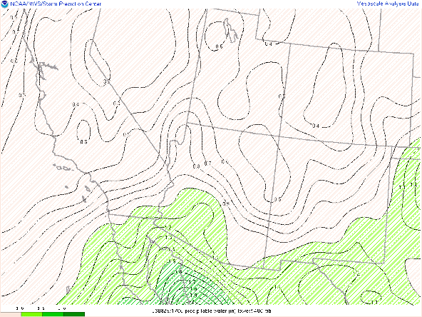
Visible imagery overlaid with GOES derived total precipitable water displayed pwats between 1 and 1.25 in across southern Arizona and already a few cumulus developing over the sky islands in southeastern AZ.
Visible imagery overlaid with GOES derived precipitable water courtesy of College of Dupage.
The 12z GFS 500mb analysis shows the mid level anticyclone centered over the Texas Pan Handle and a trough over the northeastern Pacific Ocean.
 |
| 12z GFS 500mb analysis. |
 |
| 12z TUS sounding courtesy of the SPC. |
Today's Forecast
Synoptics
500mb heights will continue to rise throughout the day as the mid level anticyclone continues to build west into the Southwest. The GFS has 500mb heights rising to between 590 and 592 dm by late this afternoon. Mid level southerly flow is expected to be quite weak today with steering winds only around 5 to 10 kts throughout the day. Another issue is the large area of subsidence above 500mb, due to dry westerly flow in the upper levels, which will act as a convective inhibitor today. Overall, synoptics are unfavorable for significant storm development today.
 |
| 12z GFS 500mb absolute vorticity for today at 5:00 PM MST. |
There is still plenty of low level moisture this morning with surface dew points in the upper 50s in the Tucson vicinity and pwats around 1.25 in in southeastern AZ. The 12z WRF-HRRR initialized with a drier boundary layer than what was observed on the 12z TUS sounding.
 |
| 12z KTUS WRF-HRRR sounding at 12z (initialization) this morning. |
 |
| 12z KTUS WRF-HRRR sounding for 4:00 PM MST this afternoon. |
The 12z WRF-HRRR keeps storms mainly confined to the higher terrain surrounding Tucson today.
12z WRF-HRRR simulated maximum reflectivity for this evening at 7:00 PM MST.
On the other hand, the 15z WRF-HRRR is a bit more bullish with a few weak echos developing in the metro by early evening.
15z WRF-HRRR simulated maximum reflectivity for this evening at 7:00 PM MST.
Working against storm development today is weak steering flow and subsidence in the upper levels. Working in favor for storm development today is sufficient low level moisture, just enough instability, and plenty of DCAPE to generate outflow boundaries. Ambiguous conditions always make for a difficult forecast especially in complex terrain, but am thinking the safe forecast is storms remaining mainly over the sky islands and near the International Border today. However, with the large amount of DCAPE, a stray outflow boundary could push through the metro and initiate a couple short-lived cells by late this afternoon and early evening.
Temperatures will be a bit warmer today compared to yesterday with the 12z WRF-HRRR forecasting temps in Tucson just over 100 degF with the lower deserts between Phoenix and Yuma reaching between 105 and 110 degF by late this afternoon.
12z WRF-HRRR 2-meter temps for 3:30 PM MST this afternoon.


Comments
Post a Comment