August 30th: Chance for Storms this Evening in Southeastern AZ
Synopsis
CAMs are hinting at the possibility of a few showers and storms in the Tucson vicinity by this evening. Most activity will remain confined to the higher terrain this afternoon and evening with just enough moisture and instability to advertise a chance in Tucson. Hot temperatures will also continue this afternoon.
Current Conditions
The 12z TUS sounding this morning measured a slightly better thermodynamic profile compared to yesterday with a weaker subsidence inversion near 500mb, around 300 J/kg of CAPE, and over 1500 J/kg of DCAPE.
 |
| 12z TUS sounding courtesy of the SPC. |
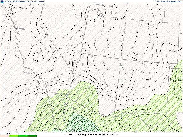
Moisture is marginal with SPC mesoanalysis displaying pwats between 1 and 1.25 in across Southern Arizona with highest values near the International Border.
Today's Forecast
Synoptics
As shown on the 12z Tucson sounding, the area of subsidence above 500mb is slightly weaker today due to 500mb heights falling by about 2 to 4 dm. SPC 500mb analysis displays the mid level anticyclone centered over Western AZ at 594 dm with northeasterly/easterly flow around 20 kts in southeastern AZ.
 |
| SPC 500mb analysis as of 19:00z. |
Thermodynamics
The 12z KTUS WRF-HRRR model sounding forecasts CAPE around 400 J/kg, pwat of 1.20in, and DCAPE of 1410 J/kg by late this afternoon. As has been the case the past few days, there is just enough low and mid level instability and moisture below 500mb for a chance of showers and primarily low-topped thunderstorms across southeastern AZ. Also, with DCAPE forecast to reach near 1500 J/kg by late this afternoon, storms will be able to produce relatively strong outflow boundaries which will aid in initiating new storms once convection propagates off of the higher terrain.
What to Expect
Overall, it will be a low grade monsoon pattern today with only scattered showers and lower-topped thunderstorms across southeastern AZ with the best chances over the higher terrain. The 12z and 15z WRF-HRRR are hinting at a few showers and storms making it into Tucson by this evening. Current guidance suggests that the majority of storms by this evening will remain in western Cochise, southeastern Pima, and Santa Cruz Counties. Below is the 12z and 15z WRF-HRRR simulated reflectivity maps for this evening respectively.
 |
| 12z WRF-HRRR simulated maximum reflectivity for this evening at 7:30 PM MST. |
 |
| 15z WRF-HRRR simulated maximum reflectivity for this evening at 7:30 PM MST. |
 |
| 12z WRF-HRRR Tucson Region Station Plots and simulated maximum reflectivity for 8:00PM MST. |
A slightly weaker mid level high combined with a bit more low level moisture compared to yesterday will help cool temps by a few degrees compared to the past couple of days. Still temps will likely reach around 105 degF in Tucson with temps around 110 degF or slightly more in the lower deserts between Phoenix and Yuma by late this afternoon.


Comments
Post a Comment