September 13th: Monsoon Farewell Event Day 3
Synopsis
Very active night/early morning in Central Arizona with rounds of numerous showers and strong thunderstorms from Phoenix eastward and this activity is still ongoing this morning. Another round of showers and strong thunderstorms is expected this afternoon and evening across Southeastern Arizona (including Tucson). SPC has southeastern AZ in a marginal risk for severe storms once again with the primary threat being strong wind gusts and up to one inch hail.
Current Conditions
Visible imagery overlaid with GLM flashes this morning displays a cluster of showers and strong thunderstorms in Central Arizona just east of the Phoenix metro.
Visible imagery this morning courtesy of the College of Dupage as of 8:20 AM MST.
24-hour Quantitative Precipitation Estimates courtesy of the NWS.
SPC 300mb analysis as of 15:00z this morning.
 |
| 12z TUS sounding courtesy of the SPC. |
Today's Forecast
Synoptics
The overall upper level pattern will be conducive for widespread thunderstorm activity across southeastern Arizona this afternoon and evening. The weak, upper level speed max will continue to move eastward throughout the day today and by this afternoon Southeastern AZ will be located in the right entrance region of this feature. This will provide Southeastern AZ with synoptic scale ascent induced by upper level divergence.
 |
| 12z GFS 250mb wind speed and streamlines for today at 5:00 PM MST courtesy of Tropical Tidbits. |
Via the 12z TUS sounding, weak low level veering as well as 52 kts of speed shear between the LCL and EL could support organized clusters of storms this afternoon and evening as well.
Moisture and Instability
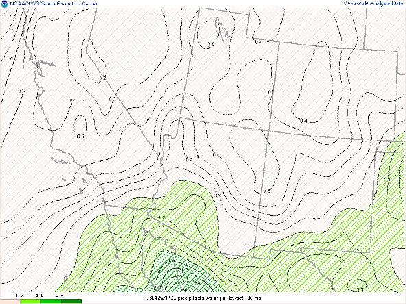
Plenty of moisture to work with today with the 12z WRF-HRRR maintaining pwats between 1.25 and 1.50 in across Southeastern and South-central AZ into this afternoon.
12z WRF-HRRR total precipitable water for this afternoon at 3:00 PM MST.
 |
| 12z KTUS WRF-HRRR sounding from the 12z initialization time. |
The 12z KTUS WRF-HRRR model sounding forecasting just below 1000 J/kg of MUCAPE by the middle of this afternoon.
 |
| 12z KTUS WRF-HRRR sounding for this afternoon at 2:00 PM MST. |
What to Expect/Potential Impacts
Overall, today is looking to be a very busy day across southeastern Arizona due to synoptic scale lift combined with sufficient moisture, thermodynamics, and impressive speed shear. The 12z WRF-HRRR has been performing well the past couple of days so am sticking with its guidance for today's forecast. Expect storms to initiate early this afternoon over the Tucson mountains and move rapidly eastward throughout the afternoon.
12z WRF-HRRR simulated maximum reflectivity for this afternoon at 2:00 PM MST.
 |
| 12z WRF-HRRR simulated maximum reflectivity for this afternoon at 3:00 PM MST. |
 |
| 12z WRF-HRRR simulated maximum reflectivity for this afternoon at 4:00 PM MST. |
 |
| 12z WRF-HRRR simulated maximum reflectivity for this afternoon at 5:00 PM MST. |
 |
| 12z WRF-HRRR simulated maximum reflectivity for this evening at 6:00 PM MST. |
SPC has Southern Arizona in a marginal risk for severe storms today once again with the primary potential impacts being strong, gusty winds and isolated one inch sized hail. Current CAM guidance suggests that the greatest chances for severe storms will remain mainly confined to Southeastern AZ this afternoon and evening.
SPC Day 1 Severe Weather Outlook.
WPC Day 1 Excessive Rainfall Outlook.
This will most likely be the last significant event of the 2023 Monsoon Season so enjoy the show today!


Comments
Post a Comment