September 7th: Warm & Dry Across Most of Arizona; Chance for a Few Elevated Storms in Cochise County Today
Synopsis
The 500mb anticyclone is currently centered at 594dm over Southern New Mexico leading to mostly dry and very warm temperatures across Arizona. CAMs are advertising just enough mid level moisture and instability for a chance of elevated convection in Cochise County this afternoon and evening. Due to a significantly dry sub cloud layer, storms could produce dry lightning and locally gusty winds leading to an isolated wildfire threat.
Current Conditions
SPC 500mb analysis this morning displays a 594 dm anticyclone centered over Southern New Mexico with Southeastern AZ under weak southerly/southwesterly flow aloft.
 |
| SPC 500mb analysis as of 17:00z this morning. |
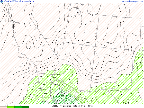
It is still anomalously dry and stable across Arizona with the 12z TUS and PHX soundings measuring pwats well below 1 inch, MUCAPE below 100 J/kg, and surface dew points in the upper 30s and low 40s across the region.
 |
| 12z TUS sounding courtesy of the SPC. |
 |
| 12z PHX sounding courtesy of the SPC. |
Today's Forecast
The area of concern today for elevated convection is in Cochise County where just enough mid level moisture and instability will be in place. The 12z GFS 500mb RH shows a very weak and subtle wave moving through southeastern AZ this afternoon and evening.

12z GFS 500mb relative humidity for today at 11:00 AM MST.
 |
| 12z GFS 500mb relative humidity for today at 5:00 PM MST. |

12z GFS 500mb relative humidity for today at 11:00 PM MST.
This weak wave will provide southeastern AZ with a slight uptick in mid level moisture and instability with the best moisture and instability remaining confined to Cochise County. I've plotted a 12z WRF-HRRR sounding for Sierra Vista which forecasts CAPE around 100 J/kg, pwat of 0.90in and a surface dew point of 40 degF by this afternoon.

12z KFHU WRF-HRRR sounding for today at 3:00 PM MST.
This is obviously an unimpressive thermodynamic profile, but there should be enough mid level moisture and instability combined with sufficient differential heating to generate a few storms in Cochise County this afternoon and evening. What concerns me is the potential wild fire risk. With an LCL height of 558mb, a surface dew point of 40 degF, and around 1400 J/kg of DCAPE, this is a recipe for elevated, dry thunderstorms. The 12z HREF has a 50% chance of wind speeds greater than 30 kts in far southern Cochise County by late this afternoon.
 |
| 12z HREF 4-hr max wind speeds and probabilities of wind speeds greater than 30 kts for today at 5:00 PM MST. |
Also important to point out that locations in far Southeastern AZ have received well-below normal accumulated precipitation this monsoon season which means low soil moisture and dry vegetation in these areas, particularly over the higher terrain.
 |
| 2023 Monsoon Rainfall vs Normal Graphic courtesy of NWS Tucson. |
 |
| 12z WRF-HRRR simulated maximum reflectivity for this afternoon at 5:00 PM MST. |
Any storm will be able to produce isolated lightning strikes and gusty winds. In general, the threat of lightning strikes and strong, gusty winds will remain localized to areas in and near thunderstorms, so the fire risk is isolated but definitely not negligible.
The 12z WRF-HRRR is hinting at the potential for some overnight/early morning elevated convection in the Tucson vicinity as shown below.
 |
| 12z WRF-HRRR simulated maximum reflectivity for tomorrow morning at 4:30 AM MST. |
The 15z WRF-HRRR is less bullish with this potential, and even if this did verify, I wouldn't expect anything more than a few sprinkles and maybe a flash of lightning or two.
With the strengthening mid level anticyclone overhead and dry low levels, temperatures will be quite warm today with temps in the Tucson vicinity around 100 degF, and the lower deserts between Phoenix and Yuma between 103 and 108 degF.
 |
| 12z WRF-HRRR 2-meter temps for this afternoon at 3:00 PM MST. |


Comments
Post a Comment