February 26th, 2024: Scattered Elevated Convection Across Eastern AZ Today
Synopsis
Modest mid and upper level moisture transport and weak ascent in the warm sector ahead of an upper level trough will bring a chance of high-based scattered showers and isolated thunderstorms today. The main threat will be dry lightning strikes and locally gusty downdraft winds leading to an elevated risk of wildfires today.
Current Conditions
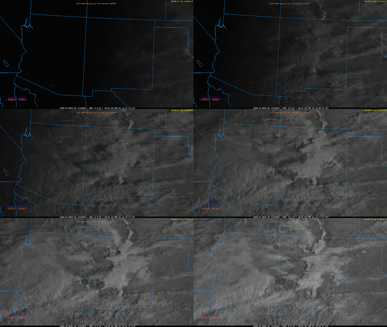
At 8:35AM MST, visible satellite imagery and lightning detection networks indicating widespread mid and upper level clouds with embedded showers and isolated thunderstorms across Southern Arizona.
 |
| GOES-18 visible imagery overlaid with GLM flashes this morning. |
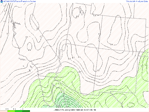
SPC 300mb analysis this morning displays the subtropical jet stretching across the Southern half of CONUS which is a good indicator of an El Niño pattern.
 |
| SPC 300mb analysis as of 15:00z this morning. |
The 12z TUS sounding this morning measuring 0.62 in of pwat, 69 J/kg of MUCAPE, and 494 J/kg of DCAPE.
 |
| 12z TUS Sounding courtesy of the SPC. |
At first glance thermodynamics are very poor, but with an LCL above 700mb and relatively steep mid level lapse rates (850mb - 500mb lapse rate ~7 degC/km) within a layer of decent speed shear (Sfc-8km shear of 91 kts) is a recipe for elevated showers and isolated thunderstorms this morning across AZ.
Today's Forecast
Synoptics
Arizona will remain in the warm sector ahead of a low latitude upper level trough which is currently centered several hundred miles west of San Diego this morning.
 |
| 06z GFS 500mb Absolute vorticity Analysis. |
 |
| 06z GFS IVT valid for today at 11:00AM MST courtesy of CW3E. |
 |
| 06z GFS 250mb divergence valid for today at 11:00AM MST. |
Wildfire Threat and Other Impacts
The most worrying threat with elevated convection is the potential for dry lightning which can spark wildfires. This morning's 12z TUS sounding measuring a very dry sub cloud layer with DCAPE near 500 J/kg. With a dry sub cloud layer and sufficient DCAPE this could lead to not only dry lightning strikes, but also locally gusty downdrafts due to evaporative cooling below the LCL. The 12z HREF forecasts significant probabilities of RH< 25% combined with wind speeds > 20mph in eastern Pima County, Santa Cruz County, and Cochise County this afternoon. This will need to be closely monitored.
12z HREF Ensemble probabilities of RH<25% and wind speed > 20mph valid for 5:00PM MST.
Other than the potential wildfire threat, expect a cloudy day with occasional light showers with a few embedded thunderstorms across mainly the Southern half of Arizona today. Would normally show the 12z WRF-HRRR simulated reflectivity, but 12z CAMs are not picking up on the elevated convection this morning so have opted to leave them out of this discussion.


Comments
Post a Comment